Oak Canyon Nature Center
Anaheim Hills, California
February 12, 2007
www.stevegrande.com/photos/2007/02/2007b12a/
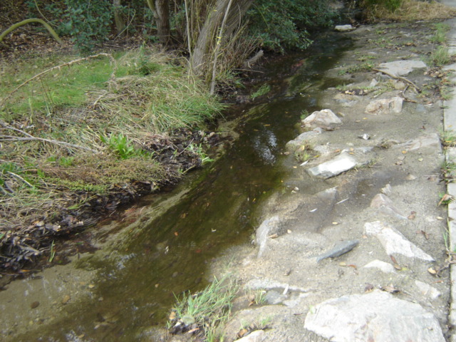
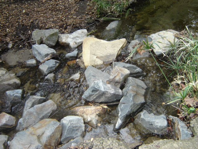
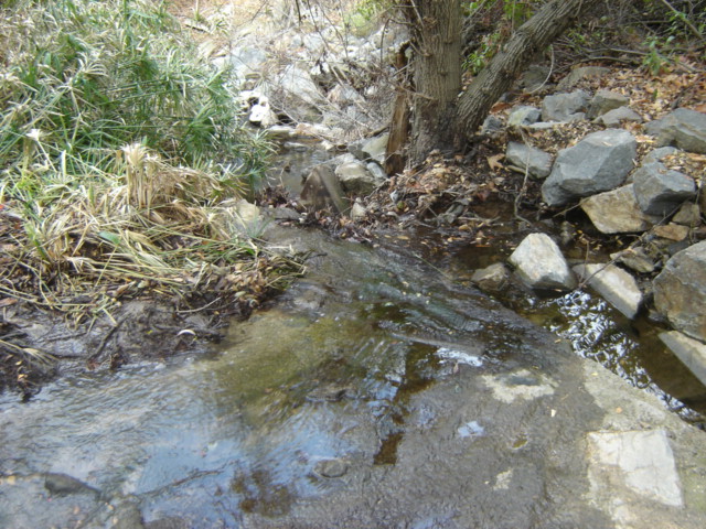
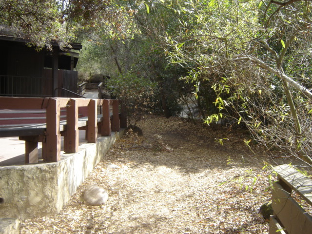
These photos capture my daily hike along 3 miles of trails through the Oak Canyon Nature Center in Anaheim Hills, California.
This nature center is located just around the corner from my home.
For the most part, I would take a photo, hike beyond the furthest point in that photo, and then take the next photo.
Thus, these photos that were taken on February 12, 2007 capture the entire length of my daily hike.
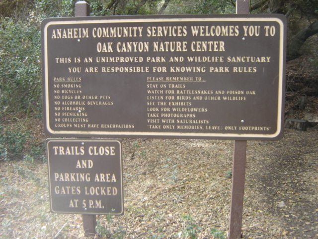
Click here for more information about the Oak Canyon Nature Center.
Click here for a map of the trails.
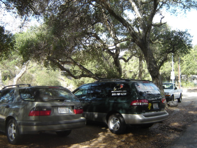
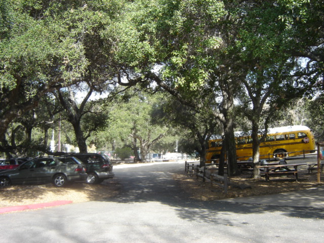
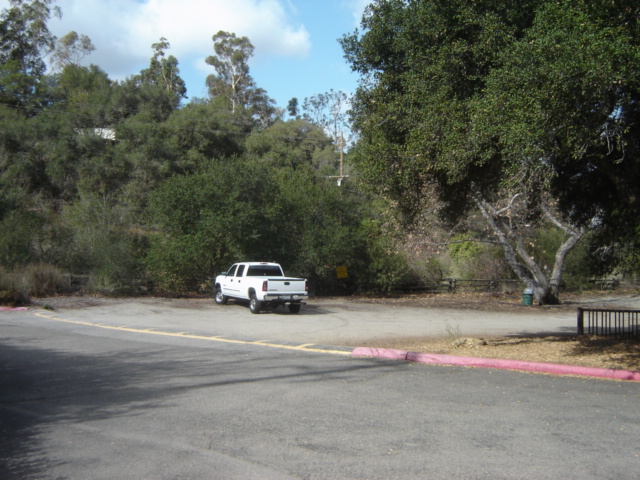

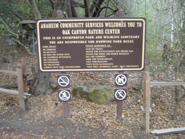
Parking lot of the Oak Canyon Nature Center where I start my walk.


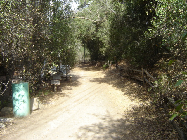
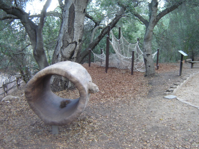
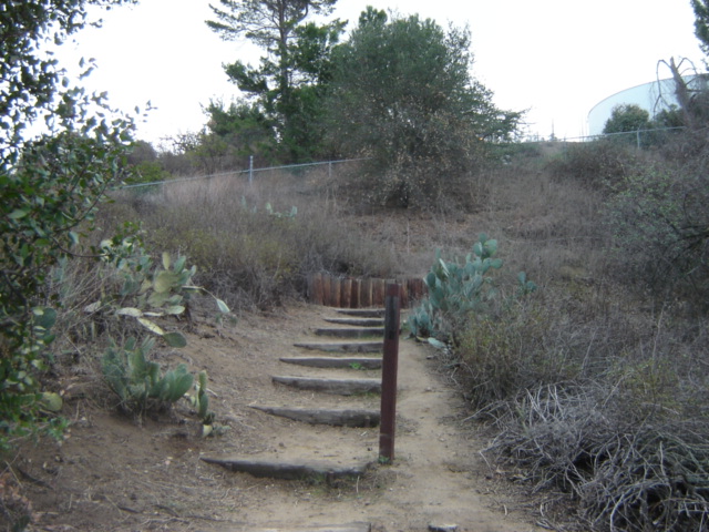
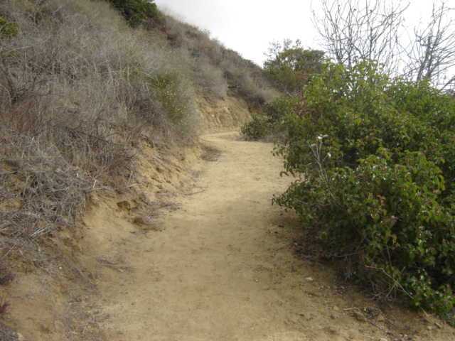
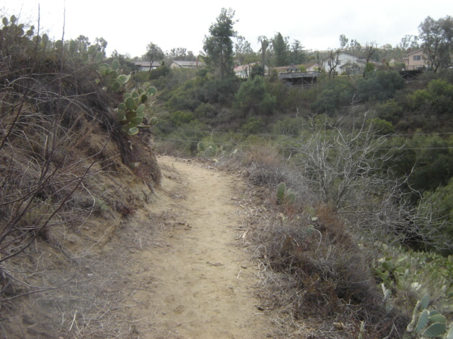
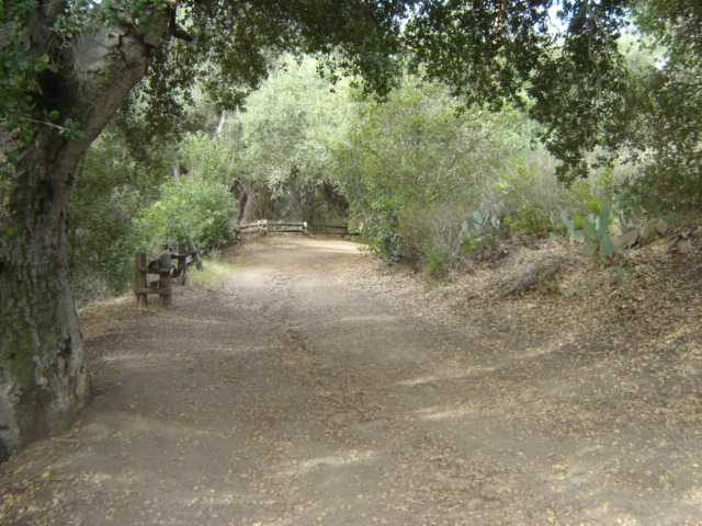
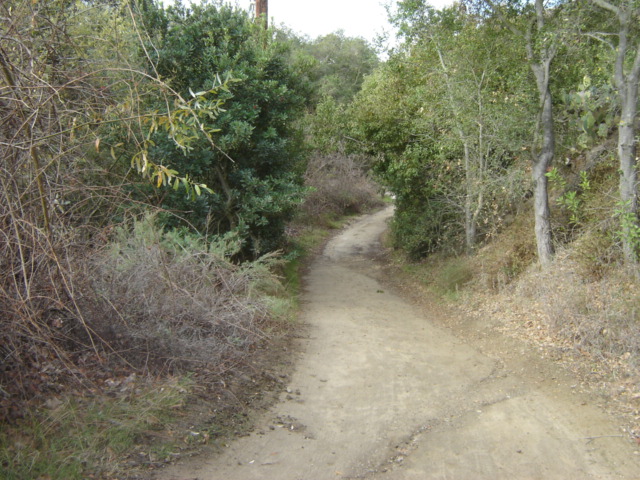
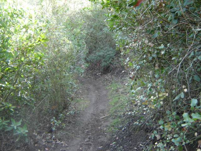
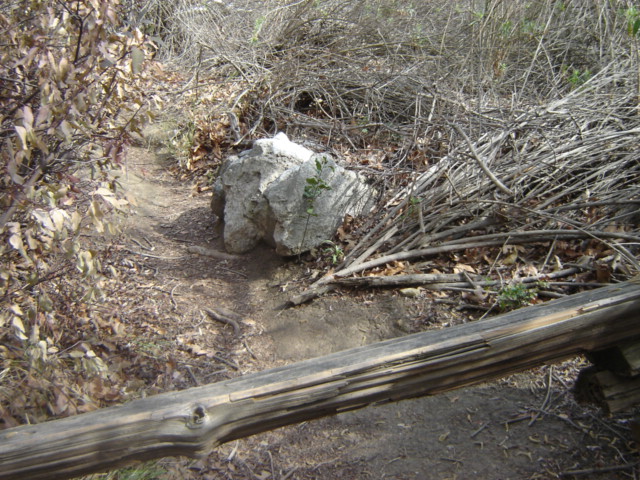
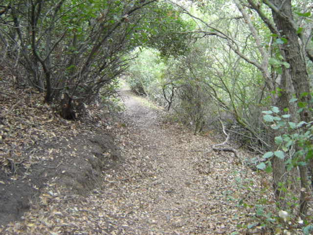
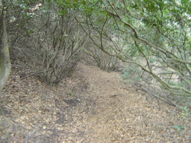
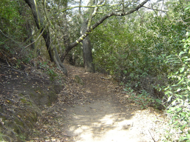
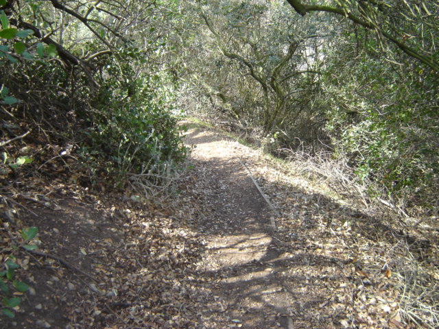
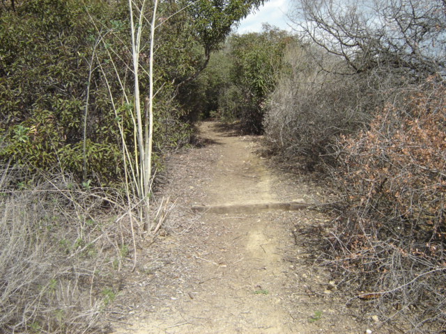
Below is the path I take through Heritage Trail


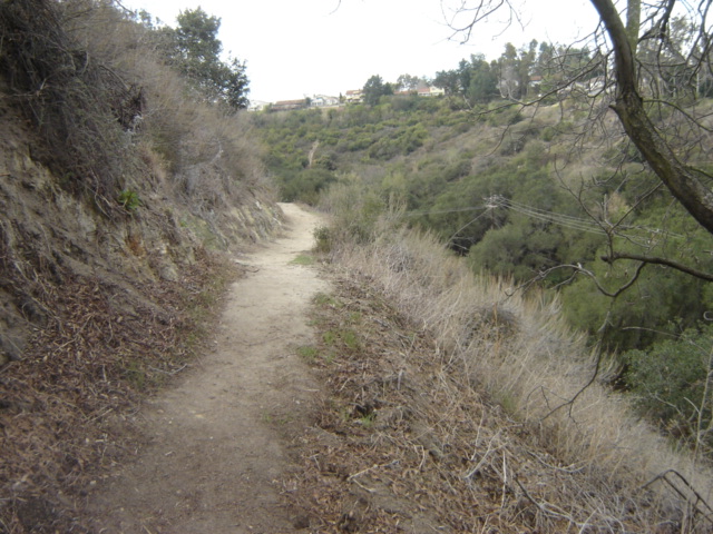
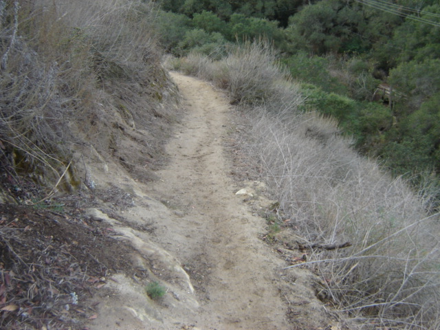
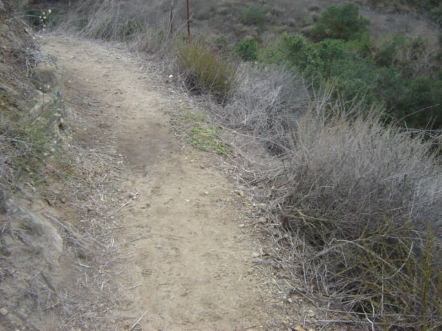
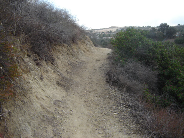
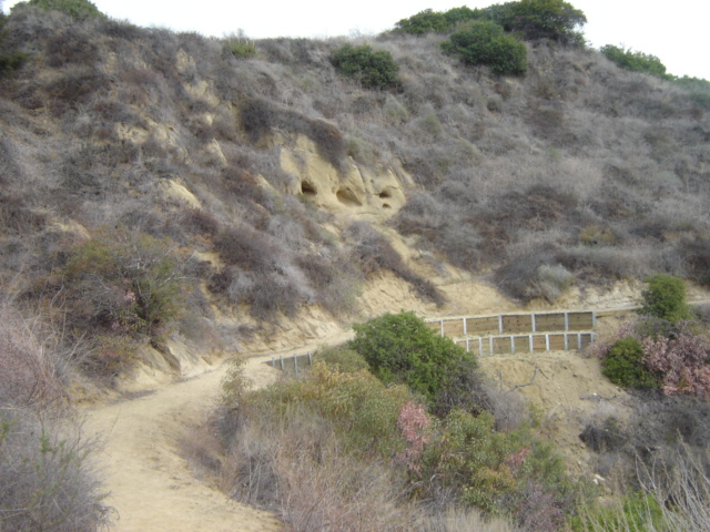
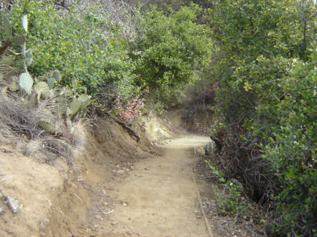
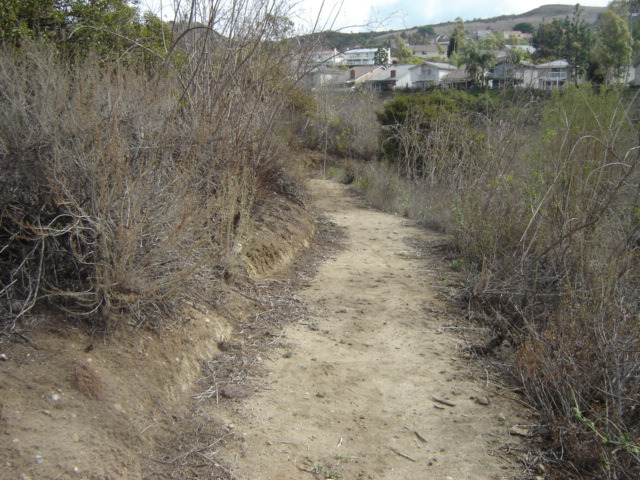
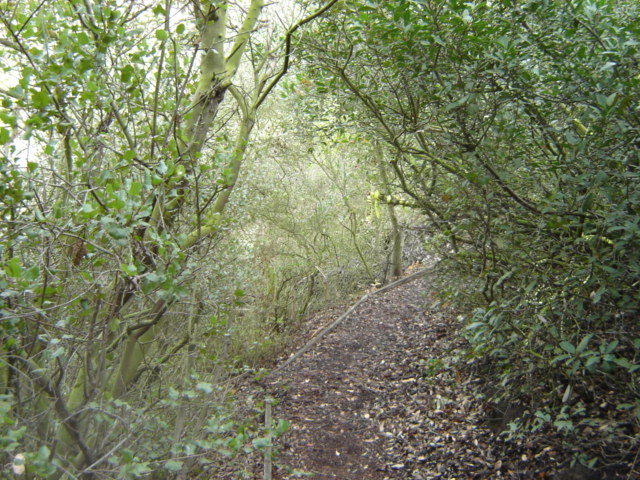
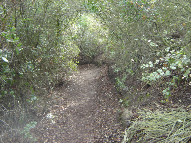
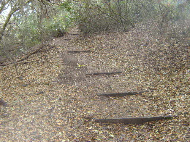
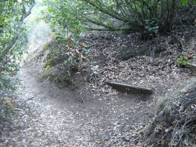
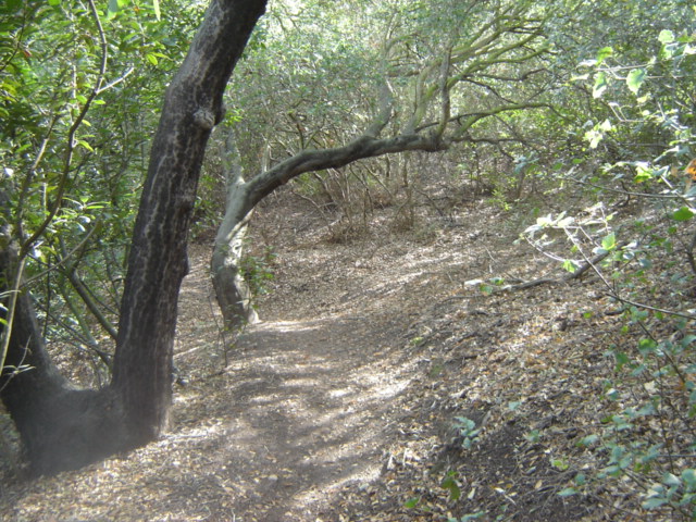
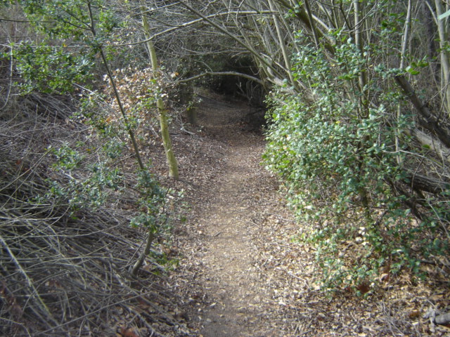
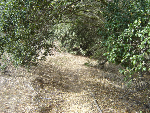
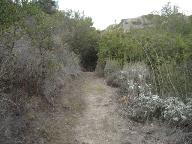
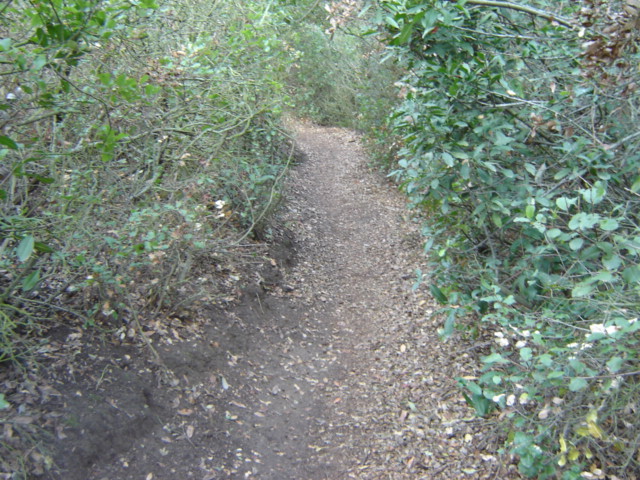
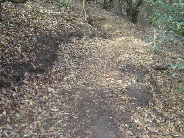
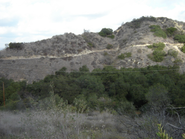
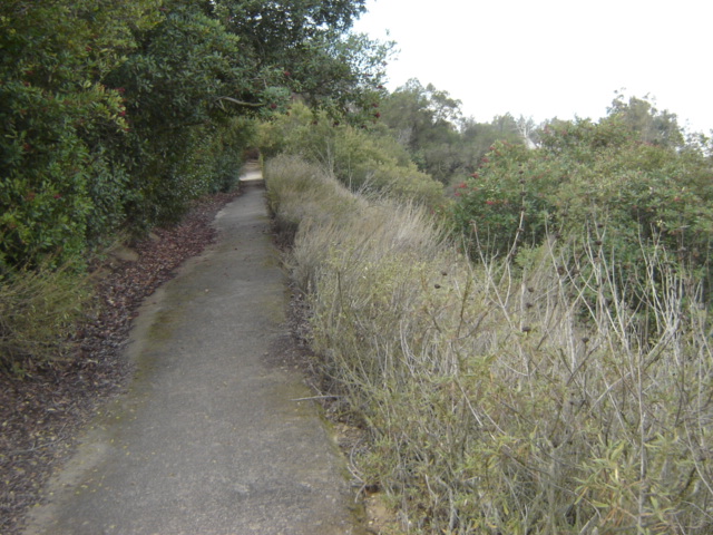
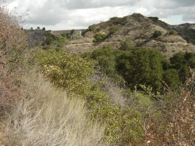
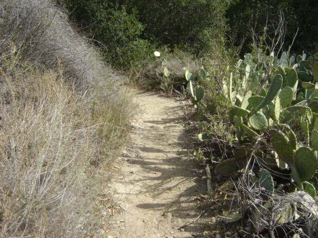
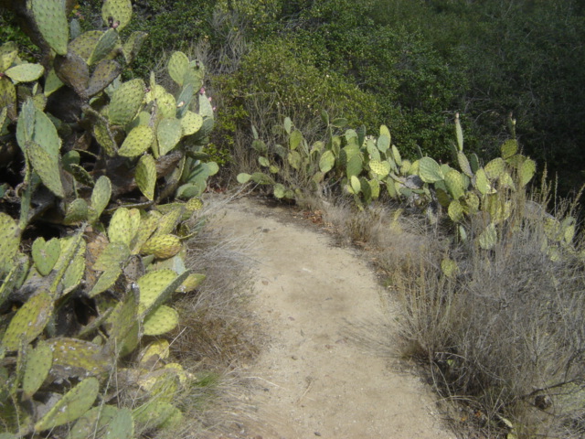
Photos along the full length of Roadrunner Ridge


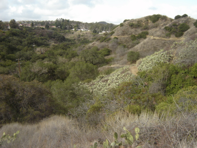


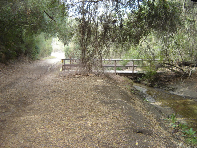
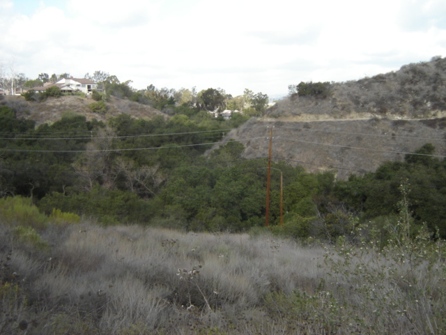
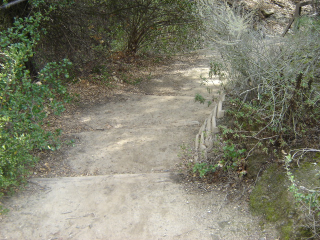
Roadrunner Ridge ends at the far end of the main road. From here I walk down the main road
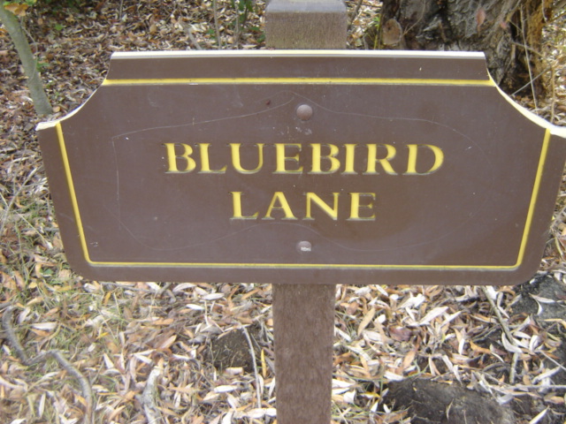
heading in the direction of the main entrance until I reach Bluebird Lane.


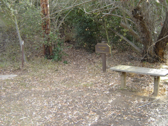
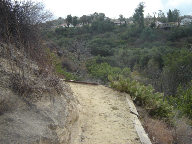
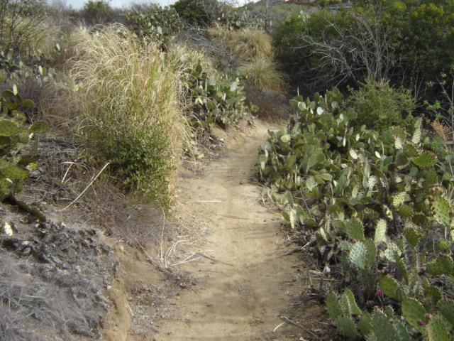
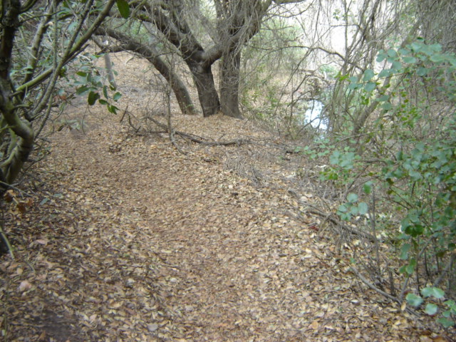
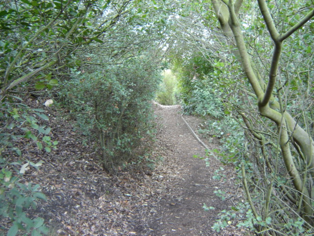
From here I hike to the far end of Bluebird Lane.
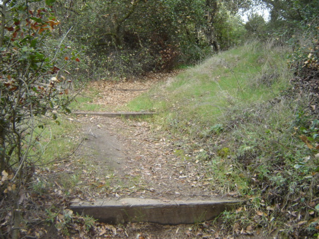


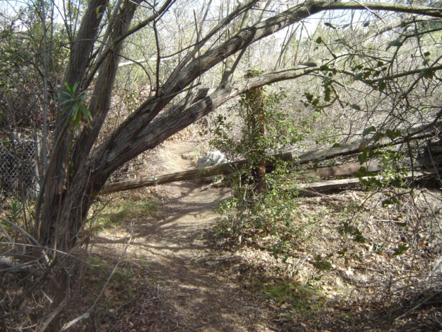


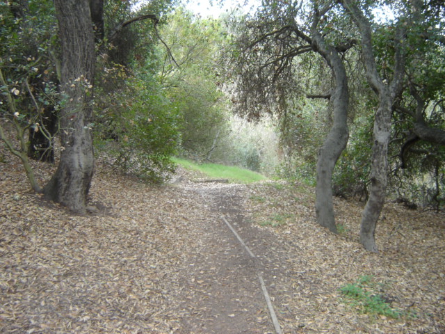
Above: Bluebird Lane comes to a dead end at an old broken down wood fence. This is the furthest point of
my hike away from the main entrance. This is where I turn around and start my final trek to the exit.


This is where I pass the point where I started on Bluebird Lane.
I came up from the path on the right and now continue on the path to the left.


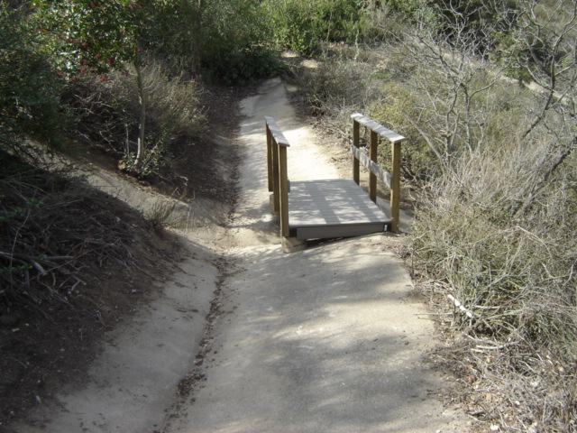
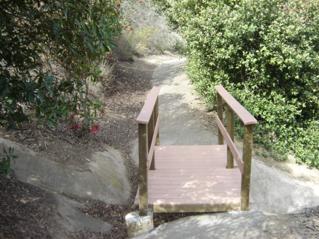
Eventually Bluebird Lane ends and I continue on to Wren Way.


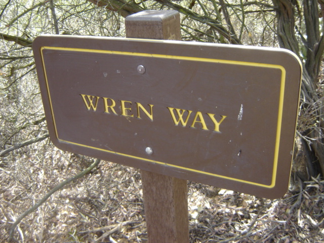


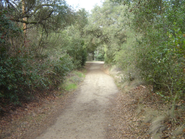
Wren Way ends here and I continue on to Tranquility Trail.


Tranquility Trail ends here and I continue onto the main road and out the exit of the
Oak Canyon Nature Center.